Aircraft Spruce Canada
Brantford, ON Canada
Corona, CA | Peachtree City, GA
Chicago, IL | Wasilla, AK
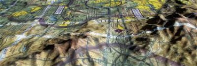
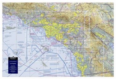
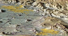
3-D Aeronautical Chart - Los Angeles
MFR Model# 3D LA
Overview
Specifications
- Scale: 1:500,000
- Size: 30" wide x 20" tall
Reviews
Loved the 3D map! We framed it in a shadow box, and it was a super cool addition to our studio.
3D Aero Chart Los Angeles
Q&A
Please note, Aircraft Spruce Canada's personnel are not certified aircraft mechanics and can only provide general support and ideas, which should not be relied upon or implemented in lieu of consulting an A&P or other qualified technician. Aircraft Spruce Canada assumes no responsibility or liability for any issue or problem which may arise from any repair, modification or other work done from this knowledge base. Any product eligibility information provided here is based on general application guides and we recommend always referring to your specific aircraft parts manual, the parts manufacturer or consulting with a qualified mechanic.
This is general reference and is not current. It is not dated.

 Aircraft Spruce Canada
