Aircraft Spruce Canada
Brantford, ON Canada
Corona, CA | Peachtree City, GA
Chicago, IL | Wasilla, AK
- JUMP TO
- Overview
- Documents
- Reviews
- Q&A
- View in Catalog
Overview
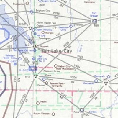
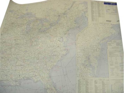
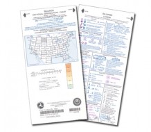
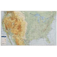
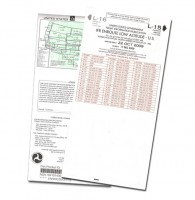
| U.S. IFR/VFR Low Altitude Planning Charts is designed for preflight and enroute flight planning for IFR/VFR flights. The chart is printed front-East, back-West, with insets for the east coast from Washington, D.C. to Boston and on the west coast, the Los Angeles/San Diego area. Information includes the depiction of low altitude LF/MF and VHF airways and mileages, navigational facilities, airports, special use airspace areas, cities, time zones, major drainage, a directory of airports with their airspace classification and a mileage table showing great circle distances between major airports, 40 x 36 inches. Revised annually. |
Reviews
Excellent big-picture resource even in the iPad age.
I wanted a wall mountable planning chart. Aircraft Spruce shipped it in fine fashion so it arrived in good enough shape for putting on the wall. Unfortunately you need to buy two as ½ of the map is on the backside (west coast on one side east on the other).
Chart is ok. Even though it says it is on two sides of the paper, it would be much improved if it was all on one side. Saving 10 cents of paper printing on both sides doesnt make since. You could sell this for 2 dollars more if it was all on one side and it doesnt take up any more space shipping since it is rolled.
Q&A
Please note, Aircraft Spruce Canada's personnel are not certified aircraft mechanics and can only provide general support and ideas, which should not be relied upon or implemented in lieu of consulting an A&P or other qualified technician. Aircraft Spruce Canada assumes no responsibility or liability for any issue or problem which may arise from any repair, modification or other work done from this knowledge base. Any product eligibility information provided here is based on general application guides and we recommend always referring to your specific aircraft parts manual, the parts manufacturer or consulting with a qualified mechanic.

 Aircraft Spruce Canada
