Aircraft Spruce Canada
Brantford, ON Canada
Corona, CA | Peachtree City, GA
Chicago, IL | Wasilla, AK
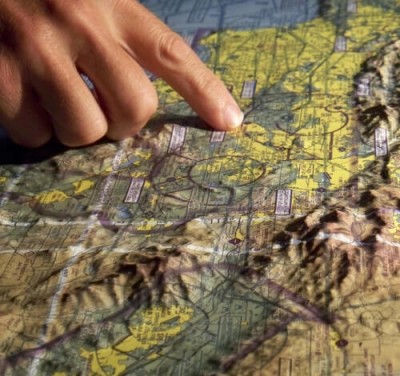
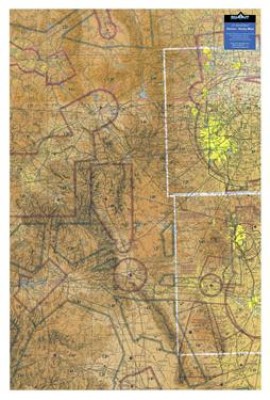
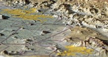
3-D Aeronautical Chart - Denver
MFR Model# 3D DENV CO.
Overview
|
Click here to see a product brochure.
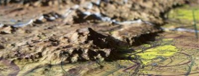
High-resolution satellite imagery and maps provide extraordinary earth detail. But it's the proprietary print and molding process that transforms those images into 3D maps with a whole new level of geographic realism. |
Specifications
- Scale: 1:500,000
- Size: 30” tall x 20” wide
Q&A
Please note, Aircraft Spruce Canada's personnel are not certified aircraft mechanics and can only provide general support and ideas, which should not be relied upon or implemented in lieu of consulting an A&P or other qualified technician. Aircraft Spruce Canada assumes no responsibility or liability for any issue or problem which may arise from any repair, modification or other work done from this knowledge base. Any product eligibility information provided here is based on general application guides and we recommend always referring to your specific aircraft parts manual, the parts manufacturer or consulting with a qualified mechanic.

 Aircraft Spruce Canada
